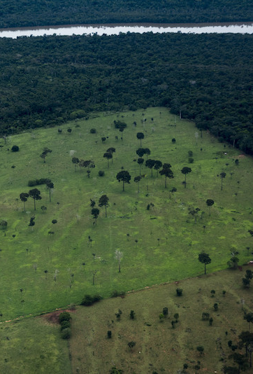
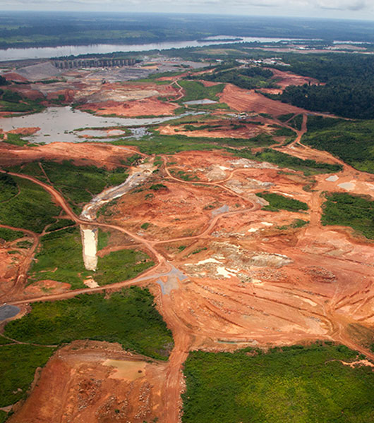
Deforestation, degradation and carbon release threaten the Mother Earth of indigenous peoples, forest collector and riverbank communities, plant and animal species of all sizes and beauty. More than this, they accentuate the climate changes that affect the whole planet. RAISG has produced studies and maps that enable the Amazon forest to be better understood and protected.
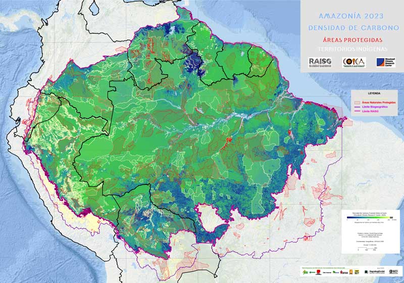
AMAZONIA: Stable forest 1985-2022 PROTECTED NATURAL AREAS and INDIGENOUS TERRITORIES Amazonia 2023: Protected Natural Areas, Indigenous Territories – Stable Forest 1985-2022 updates the information on these management figures in the Amazonian region and includes data on the forests that remained stable between 1985 and 2022 for the first time. With this series of publications, prepared by the Amazonian Network of Georeferenced…
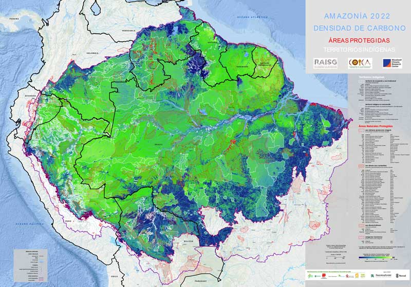
El mapa Amazonía 2022 presenta información actualizada sobre Áreas Naturales Protegidas (ANP), Territorios Indígenas (TI) y Densidad de Carbono analizada en detalle para el período 2001-2020. El principal objetivo de esta serie de publicaciones de la Red Amazónica de Información Socioambiental Georreferenciada (RAISG) es contribuir a superar visiones fragmentadas de la Amazonía y promover iniciativas…
RAISG generated a collection of annual maps of the Amazon. This document presents an analysis of annual deforestation for the period 2000-2018. The mapped area covers not only the forests of the Biome or the Amazon Region, but also the forest formations of the Andean region on the side of the Atlantic slope of Bolivia,…
Study analyzing historic and recent trends in deforestation in all the countries of the Amazon region. Deforestation data was produced by RAISG partners using RAISG’s own standardized methodology that permits regional level analyses while not obscuring national differences. The issue is analyzed from different viewpoints: Amazonia as a whole, the Amazon region of each country,…
This map, produced in collaboration with WHRC, EDF and COICA, presents quantitative data on what had previously only been appreciated in qualitative terms: the amount of above ground carbon in indigenous lands and protected areas in the Amazon region – a globally important amount when compared to the largest carbon stocks in tropical Africa and…


