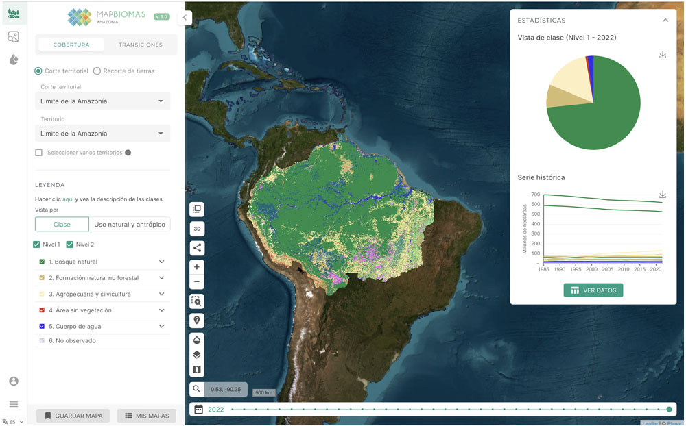
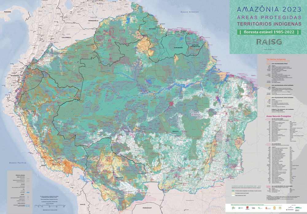
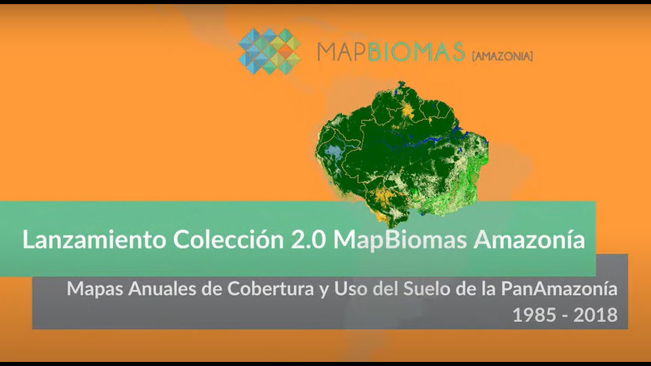
MapBioma Amazonia is a collaborative network of specialists from Amazonian member countries. Its purpose is to enhance understanding of land cover and land use dynamics in the Amazon region by developing and implementing methodologies to create a historical series of annual maps dating back to 1985. These maps and accompanying analyses aim to highlight the proliferation of economic activities in the region and their impact on forest loss. They provide detailed insights into changes across the entire Pan-Amazon region, as well as within each constituent country.

Status:
- Ongoing
2019-2024
Ӿ
Products
Keywords
- agriculture
- deforestation
- land cover and land use
- livestock
- MapBiomas
- Minería

